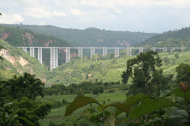
06.05.2561 Namhkam, Shan State, Myanmar.
Namhkam, Shan State From Wikipedia, the free encyclopedia ဝꨱင္းꨓမ္ꨵꨁမ္း Nam Kham ဝꨱင္းꨓမ္ꨵꨁမ္း Location in Burma Coordinates: 23°50′00″N 97°41′00″E Country Burma Division Shan State District Mu Se District Township Nam Kham Township Population (2005) • Ethnicities , Shan • Religions Buddhism Time zone MST ( UTC+6.30 ) The valley of the Shweli Nam Kham ( Shan : ၼမ်ႉၶမ်း ), also spelt is the principal town of Nam Kham Township in northern Shan State , Burma , situated on the southern bank of Shweli River near the border with Yunnan Province , China . Contents [ hide ] 1 History 2 Education 3 Agriculture 4 Development 5 Politics 6 References 7 External links History [ edit ] The region belonged to China but the British colonial administration built a road in 1894-1...

ความคิดเห็น
แสดงความคิดเห็น